Gunung Datuk @ Rembau, Negeri Sembilan - 20-Jun-2015
Hello hello, im here to update again for my weekend.
hahha. This round I went to hike with a group of people from mytravelkaki. Anyone of you if wanna go hiking in KK or Gunung Mulu or any hike or diving can go to
www.mytravelkaki.com for more information.
The leader of the Group is Wai Kong. He arrange this hike together with us in Seremban, Gunung Datuk.
We meet at Linggi-Pedas Toll, right after the toll on your left got public toilet, this is the only toilet that I saw with clean and no smelly also with toilet tissue. So, u guys can go toilet before you start your journey to Gunung Datuk although when u reach there, also got toilet, but according to the members, the toilet in Gunung Datuk is dark. Sooo... hahaha, better go before.
Gunung Datuk, for me, it's really worth to go and reach the peak of the mountain because you will feel the real
nature and enjoy the super nice view of the whole
Negeri Sembilan.
 |
| Once you reach the entrance, you will see this, |
 |
| The big Keris and the little story of Gunung Datuk. |
 |
| GUNUNG DATUK, REMBAU |
 |
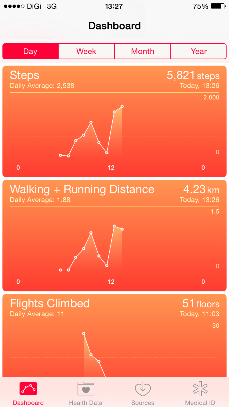
Total distance for the hike is 2070m.
|
 |
| The route plan. |
 |
| That's Gunung Datuk. |
 |
| Please do save the phone number for any emergency. |
 |
| That's the starting point. |
 |
| Before u start the hike, u need to pay entrance fee at the pondok there. |
For Gunung Datuk, you need to pay RM5 for entrance fee and also write down your name. When you hike down and going back remember to go sign out from their list.
I think it's worth for paying the Rm5, as they really do their maintenance.
In Gunung Datuk, you guys can go in a Group or a pair, as they did the maintenance, so every where u can see the sign board.
Remember, if you are the first time to Gunung Datuk, follow all the way the
red sign on the rocks or trees which wont lead to the wrong side.
If without the red sign, it's really misleading as there are a lot routes and way out there so remember just follow the red sign. Please bring
phone together and make sure there is full battery life in case anything happen please call the emergency contact.
 |
| starting Point, Already got the red sign. |
 |
| On and off the sign board is along the way and the red sign. |
 |
| The first stretch is most difficult as mostly also rock there. So be careful. |
 |
| There is tar road also. Red sign is every where. |
 |
| Red sign is everywhere, so spot it out. |
After 30 mins hike, you will reach the First resting point, after this there is no more rocks. It will be easy hike after that :)
 |
| Chit chat and eat for energy. |
 |
| There is big tree every where here. |
 |
| That's the way after the First resting point. |
 |
| See it's normal route. It's not hard. |
 |
| Can you guys guess what is it? omg. Really amazing la this. |
 |
| Walk walk walk, opss reach the top ady..!!! hahaha |
 |
| If you wanna go peak, please turn to left. haha |
 |
| Tada, it's 885 meter!!!! |
 |
| Not very high but really trust me, when u see the view, it's worth. |
 |
| That's the ladder to climb up for the peak. |
When we reach the peak, It's really amazing, too bad it's a chilling day and cloudy day. Super chilling up there. If the sky is blue sky, it will be perfect.
Another thing I wanna tell u guys is we saw
2 hornbills flying there and
2 eagles staying there. That's really lucky of us and it's really the beauty of the nature.
 |
| Although the weather is cloudy, but the view is still nice. |
 |
| They said this is HANG TUAH leg shape. hahaha |
 |
| The lubang. |
 |
| Can see whole Negeri Sembilan |
 |
| WOW.!!!! |
 |
| That's us! |
 |
| It's nice view!! |
 |
| Feel the Nature. |
 |
| We do saw hornbill and eagle!! |
Total hours for the hike is:
1. Hike up we used 2 hours, if u fast pace u might need lesser time. We are normal as we checked the board, 2hours to peak is normal. haha
2. Hike down we use 1 hour. It's quite smooth all the way.
Although it's not a difficult hike, however, please follow the red sign as u might get lost easily as there are a lot routes which misleading you.
Cheers,
houyan - Loves <3
 |
| The beauty of me? or the nature? ahahahah! |